Solutions relating to
Earth & Planetary Sciences
Imaging and inversion software

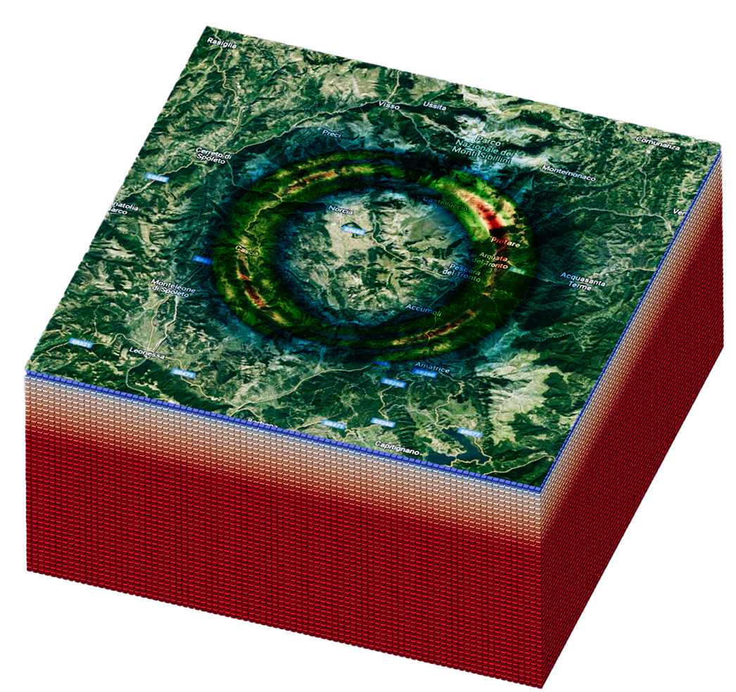
Use advanced imaging techniques to model full wave propagation and reconstruct high-resolution interior structures. Ideal for material characterization, geophysical exploration, and non-destructive testing.

Read more
Geophysical site characterization

Read more
Physics-informed digital twins

Build high-fidelity digital twins using physics-based simulations of 3D wavefields. Salvus supports scalable, efficient modeling for complex environments and advanced research workflows.

Read more
Distributed acoustic sensing

Distributed Acoustic Sensing (DAS) transforms fiber optic cables into dense sensor arrays, capturing vibrations for geophysical imaging, structural monitoring, and non-destructive testing with unparalleled spatial coverage.

Read more
Case studies relating to
Earth & Planetary Sciences

Studying ambient seismic noise with Salvus: modeling, monitoring and inversion

Leveraging ambient seismic noise, Salvus enables full-waveform inversion and fault monitoring for enhanced Earth structure analysis.

Read more →

Simulating marine data for Distributed Acoustic Sensing (DAS)

Distributed Acoustic Sensing (DAS) uses fiber-optic cables for seismic monitoring, and Salvus enables accurate, efficient simulations with real-world geophysical factors.

Read more →

Urgent computing: the largest Salvus simulation yet

High-resolution seismic simulations with Salvus on Exascale supercomputers enable rapid, accurate ground-motion modeling for hazard assessment, as demonstrated in the Mw 7 Aegean Sea Earthquake study.

Read more →

Ground motion modeling dashboard

Our seismic hazard dashboard developed for DT-Geo enables researchers to run high-fidelity, scalable ground motion simulations in a browser, leveraging 3D models, HPC acceleration, and customizable configurations for rapid risk assessment.”

Read more →

Full-waveform near-surface site characterization

Enhance seismic imaging with Salvus’ full-waveform inversion, reducing risks and costs for engineering projects through advanced surface wave analysis.

Read more →

Simulating earthquake ground-motion with Salvus

Accurate earthquake ground-motion simulation with Salvus enhances seismic hazard assessment by modeling complex 3D velocity structures, topography, and fault ruptures for reliable intensity predictions.

Read more →

Accurate fault planes in earthquake ground motion modeling

Salvus integrates Standard Rupture Format (SRF) sources for accurate seismic hazard modeling, enabling detailed fault rupture simulations like the 2017 Mexico Puebla earthquake study.

Read more →